

not logged in | [Login]
![]()
There are two ways to select a region in the Hotmaps toolbox: 1. selection by the NUTS classification (Nomenclature of territorial units for statistics)) 2. custom hectare selection
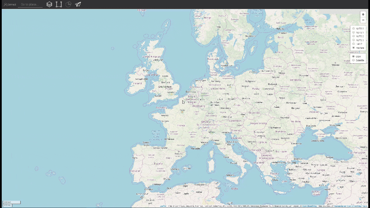
With the radio buttons at the right of your screen, you can choose the territorial scale that you want to analyze (NUTS regions, LAU (Local Administrative Units or hectare level)

Fig.1.: Radio buttons for the territorial scale
After selecting a region and pressing the LOAD RESULTS Button the result sidebar at the right is shown and depending on what layer you selected some indicators for them are shown. You can see that by selecting another region the results will be aggregated on the fly.


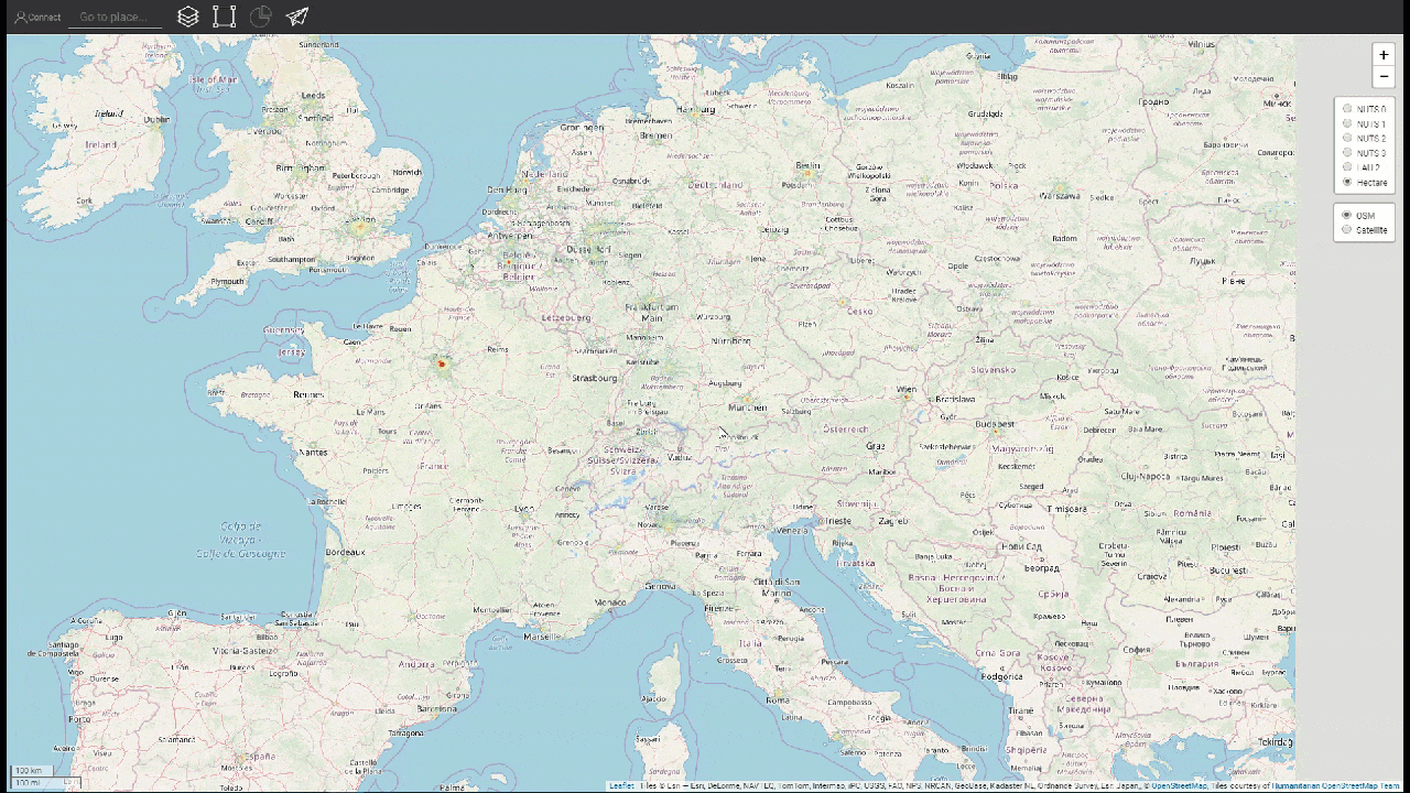
Besides the three NUTS Levels, you have also the possibility to analyse in LAU level

If you need a more flexible way and want to analyze a region that is not covered by the NUTS or LAU boundaries then it is better to specify your own customs regions (see below).

Jeton Hasani, in Hotmaps-Wiki, Select-a-region-in-the-Hotmaps-toolbox (April 2019)
This page was written by Jeton Hasani EEG - TU Wien.
☑ This page was reviewed by Mostafa Fallahnejad EEG - TU Wien.
Copyright © 2016-2020: Marcus Hummel, Giulia Conforto
Creative Commons Attribution 4.0 International License This work is licensed under a Creative Commons CC BY 4.0 International License.
SPDX-License-Identifier: CC-BY-4.0
License-Text: https://spdx.org/licenses/CC-BY-4.0.html
We would like to convey our deepest appreciation to the Horizon 2020 Hotmaps Project (Grant Agreement number 723677), which provided the funding to carry out the present investigation.
View in another language:
* machine translated